Swat basin could warm by over 5°C by 2100 as summer rain doubles, study warns
A Green Climate Fund assessment backed by the ADB says the valley's 10,000-plus glaciers face faster melt, more floods now and less water later.
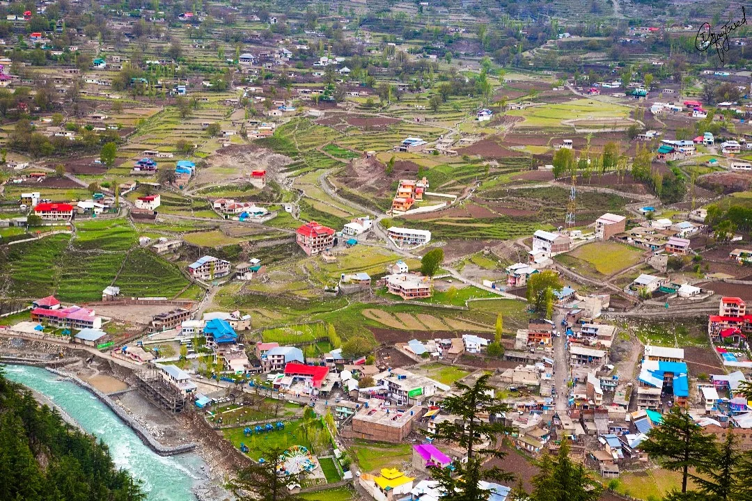
The Swat basin is on course to warm by more than 5°C by the end of this century, with most of the rise between October and June, a glacier risk assessment by the Green Climate Fund (GCF), carried out with the Asian Development Bank (ADB), has found. Dawn reported the findings on Thursday.
Winter rainfall is expected to change little. Summer rainfall could more than double under some scenarios.
What it means for Swat
The basin holds more than 10,000 glaciers. The study expects three things to happen in sequence:
- More water first. Faster glacier melt raises river flows for some years, a short-term surplus.
- More floods and erosion. Heavier summer rain on top of meltwater raises the risk of flash floods, debris flows and valley erosion, and of damage to roads, bridges, dams and irrigation channels.
- Less water later. As the glaciers shrink, the buffer they provide in dry, hot months disappears, leaving a long-term deficit just when demand peaks.
The assessment also warns of agricultural losses in the valley. For the farms and orchards of Swat and the canal-fed plains downstream in Charsadda, Mardan and Nowshera, that means both more flood risk now and less reliable water in later decades.
The bigger picture
Swat is one of four "pilot" watersheds the GCF studied under its Glacier to Farms programme. The others are the Kura (Armenia, Azerbaijan and Georgia), the Naryn (Kyrgyz Republic, feeding Kazakhstan and Uzbekistan) and the Pyanj (Tajikistan, Turkmenistan and Afghanistan). Across all four, temperatures are projected to rise by about 3°C to 5°C by 2100.
The study used 40 years of weather records to correct global climate models for local conditions, then built scenarios for 2035, 2055, 2085 and 2100.
Its main warnings for the region:
- Glacial lake outburst floods (GLOFs) and landslides, already a high risk across the Hindu Kush, Karakoram and Himalaya, will become more likely as ice and permafrost that hold slopes and natural dams in place melt.
- Earlier snowmelt will shift peak river flows to earlier in the year.
- Hotter summers will push up demand for water and power while supplies fall.
The report says resilience measures, from watershed management to early warning, can bring these risks down to manageable levels.
What you can do
For families in Swat and other mountain districts, the practical steps are the familiar ones: follow PDMA Khyber Pakhtunkhwa and PMD flood alerts in the monsoon, avoid building on riverbanks and keep documents in a waterproof bag. Hotter summers also mean higher cooling bills in the plains: see what an AC adds to your bill on our AC running cost calculator.
Frequently asked questions
- How much will the Swat basin warm?
- By more than 5°C by the end of the century, mostly between October and June, according to a glacier risk assessment by the Green Climate Fund with ADB support, reported by Dawn on 5 November 2026.
- How many glaciers are in the Swat basin?
- More than 10,000, according to the assessment.
Sources
More in Science
Science
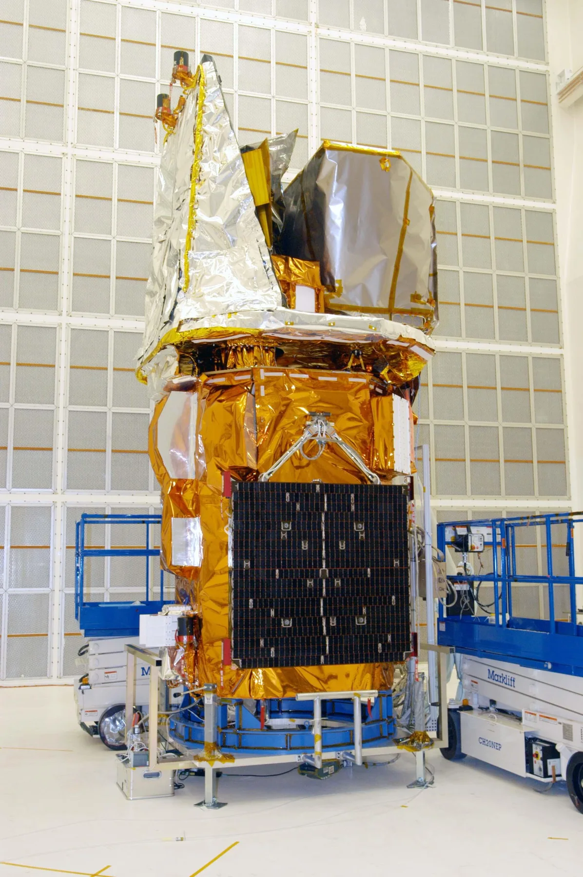
NASA's Swift telescope falls back to Earth after 22 years as a $30 million rescue fails
The gamma-ray observatory, launched in 2004 for a two-year mission, was due to burn up over the tropics on 4 November after the LINK rescue craft spun out of control.
18h ago
Science
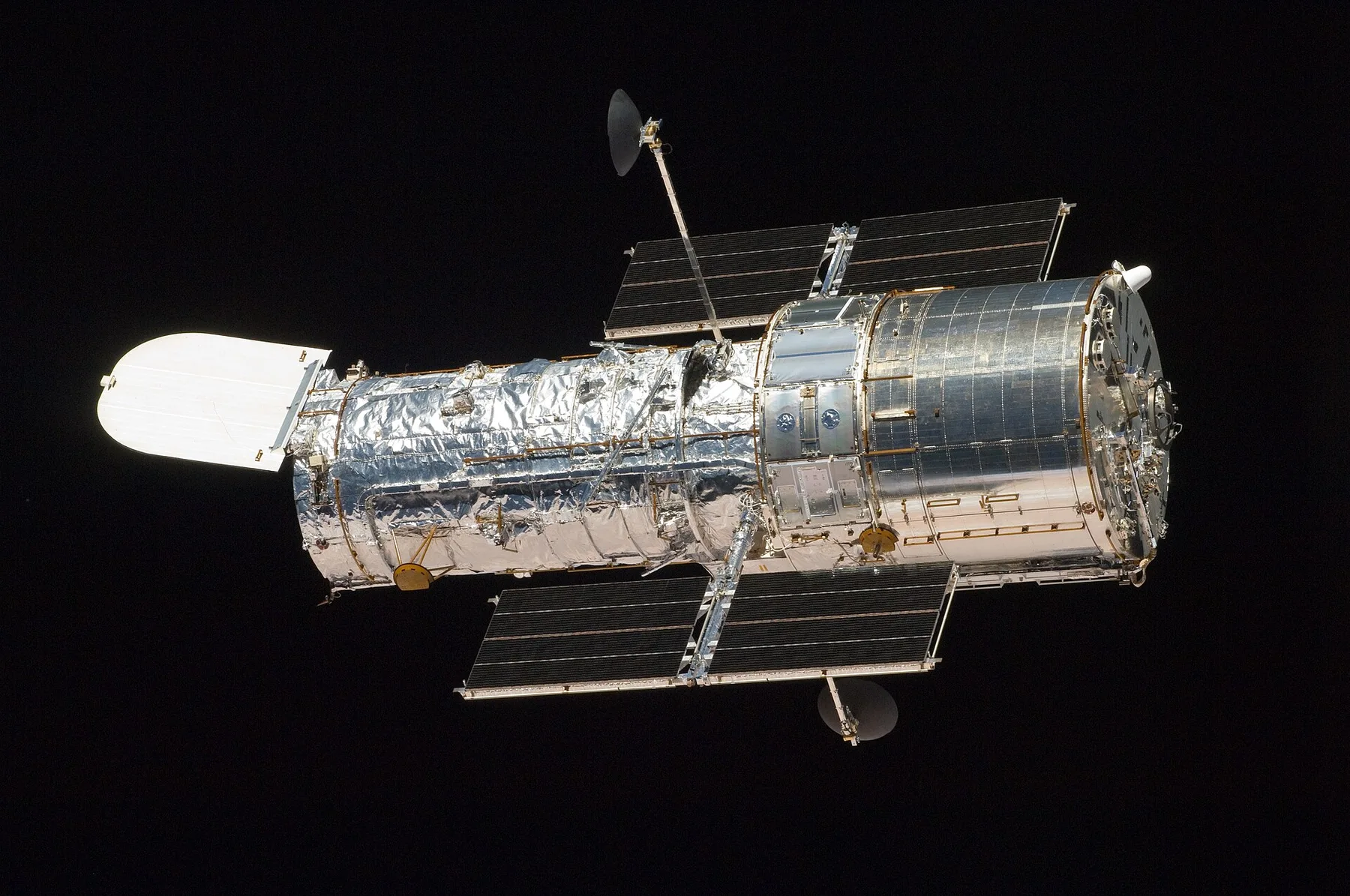
NASA asks private companies to save the Hubble telescope: proposals due 30 November
Hubble is sinking towards an uncontrolled re-entry in 2033 or 2034. NASA wants a commercial reboost, a servicing mission or, failing that, a safe disposal by 2032.
1d ago
Science
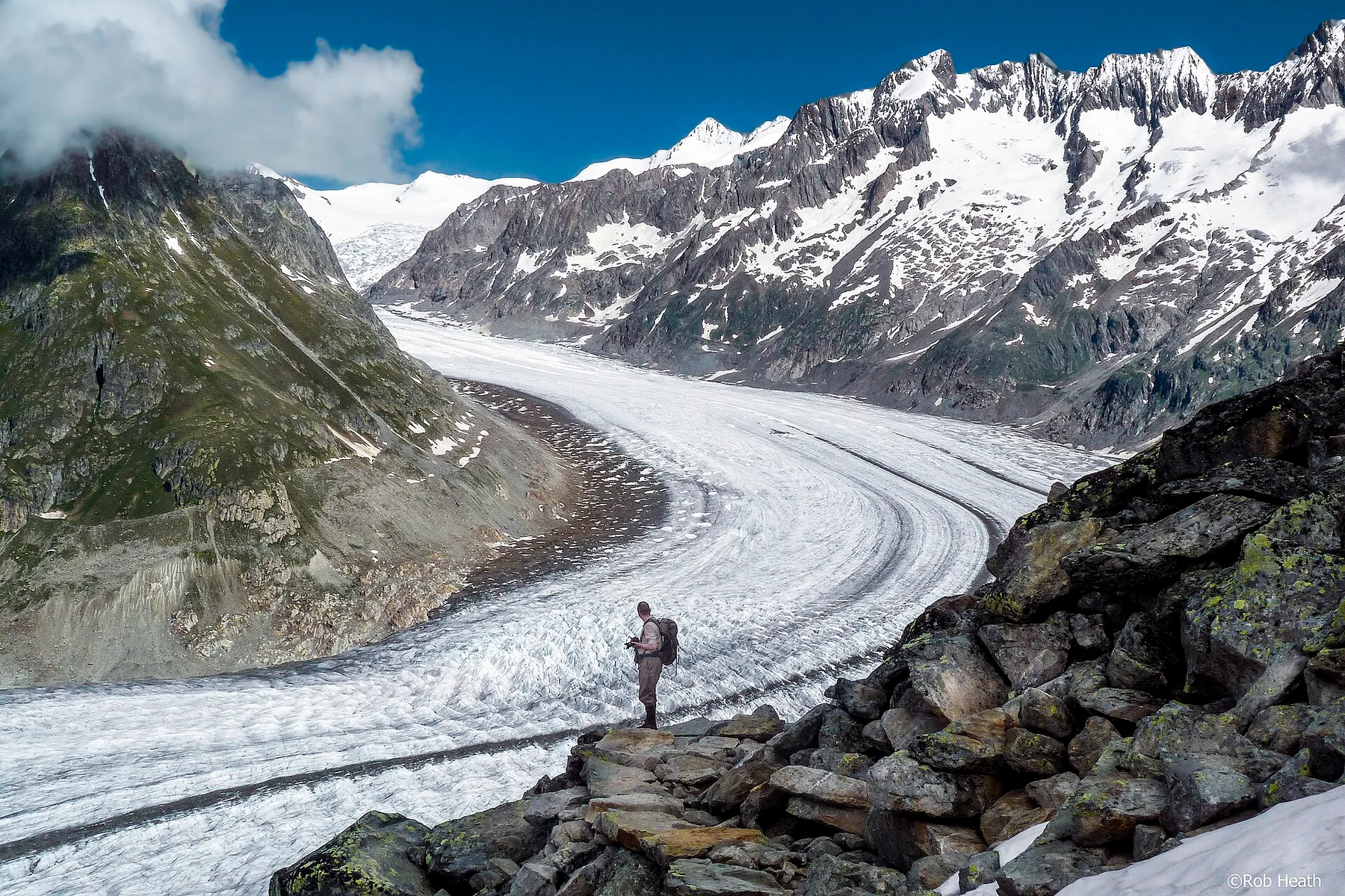
Warming at 1.37C is 'already unsafe' for Earth's ice, two new cryosphere reports warn; sea rise could hit 5cm a year
Reports written with 80 scientists say every year above 1.5C locks in more glacier and ice-sheet loss. Switzerland has already lost a fifth of its glacier mass.
2d ago
Reader comments 0
No comments yet. Say something useful.